The online training and webinar is the second part of a series of three webinars which focus on mapping and remote sensing data interpretation. The second online training and webinar in 2022 was organized by the Moscow State University (MSU).
The second online training and webinar (on Zoom platform) was conducted on 7-8 April 2022 (Part #1) and 14-15 April 2022 (Part #2). It introduced participants to sepcific methods and approaches of using global environmental databases in SDG Monitoring; GIS-tools using in environmental change detection, spatial data publication and online analysis.
The training was organized in the form of introductory lectures and classwork – practical sessions. The introductory lectures cover the basic methods and tools including access to data and archives. Training includes practical exercises in GIS use, digital image processing, thematic mapping and data dissemination to the public.
During the four-day course, participants have learned:
- Using global environmental data sources and remote sensing data for SDG monitoring in Central Asian countries;
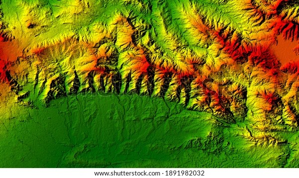
- Using global environmental data sources and remote sensing data to assess the risks of natural hazards and glacier changes in mountain regions;
- Using remote sensing data processing to identify natural and socio-economical processes, changes and dynamics;
- Using geoportal technologies to create data sources available for public.
