From October 9 to October 13, 2023, the second in-person training on “Methods and tools for mapping and remote sensing data interpretation” was held in Dushanbe.
The event was organized by the specialists of the Institute of Geography of the Russian Academy of Sciences and Moscow State University with the support of the UNEP European Office and the Committee for Environmental Protection under the Government of the Republic of Tajikistan.
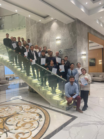
23 representatives from ministries and departments of the Republic of Tajikistan actively participated in a series of instructional sessions and lectures, furthering their expertise in a range of pertinent areas. The delegation included professionals from the following institutions:
- One specialist from the Agency for Land Reclamation and Irrigation under the Government of the Republic of Tajikistan.
- Two specialists from the Agency for Hydrometeorology.
- One specialist from the Agency for Statistics under the President of the Republic of Tajikistan.
- Two specialists from the State Committee for Land Management and Geodesy of the Republic of Tajikistan.
- Nine specialists from the Committee for Environmental Protection under the Government of the Republic of Tajikistan.
- Two specialists from the Committee for Emergency Situations and Civil Defense under the Government of the Republic of Tajikistan.
- Four specialists from the Ministry of Agriculture of the Republic of Tajikistan.
- One specialist from the Ministry of Foreign Affairs of the Republic of Tajikistan.
- One specialist from the Ministry of Energy and Water Resources of the Republic of Tajikistan.
The comprehensive training program encompassed a diverse curriculum, focusing on the utilization of Unmanned Aerial Vehicles (UAVs) and remote sensing data as valuable tools in addressing agricultural challenges, monitoring glacier conditions, and predicting hazardous phenomena. Practical exercises enabled participants to apply their newfound knowledge effectively, utilizing prominent software applications such as Google Earth, ArcGIS Pro, and Agisoft Metashape.
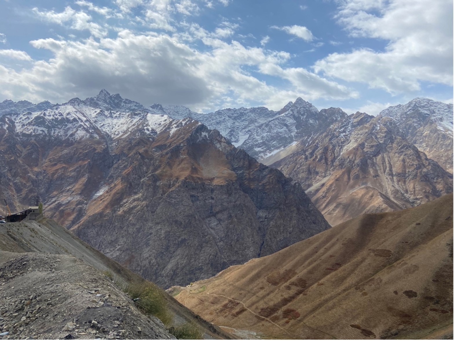
In addition to the lectures and practical sessions, two field excursions were organized. One aimed to explore the potential of employing UAVs for monitoring vegetation conditions in agricultural fields near the city of Gissar. The second field trip focused on studying in-situ methodologies for monitoring perilous occurrences, including mudflows and avalanches, in the Varzob river valley. These practical field experiences provided participants with valuable insights and real-world applications of the concepts they had learned during the training program.


